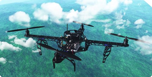
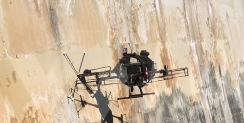
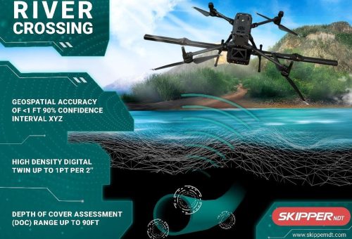
Land surveying practices in Australia are currently witnessing the drone LiDAR technology revolution. The aerial LiDAR services have thus emerged on the horizon as the gold standard for those seeking more accurate and more efficient mapping solutions – such as government agencies, mining companies, environmental scientists, and property developers.
The drone LiDAR technology is a perfect blend of precision and flexibility that result in unmatched surveying capabilities. The precision of Light Detection and Ranging (LiDAR) systems and the flexibility of unmanned aerial vehicles (UAVs) define the substantial potential of this technology.
Surveying Large Rural Properties – Faster, Smarter, Safer Solution
A large skilled team, weeks of field work, and multiple logistical challenges – traditional methods of surveying consume all this and still keep room for improvement when it comes to accuracy of results. On contrary, drone LiDAR brings a dramatic change to this equation.a survey conducted using drone LiDAR technology can cover hectares of stretches of land in a single day, capture unlimited data points – all with impeccable accuracy.
Drone LiDAR mapping accounts for substantial gains in terms of efficiency. While traditional surveys are time consuming, this technology can readily reduce survey time by up to 90%. It’s thus possible now for land managers, property developers, and farmers to capture complex and comprehensive ropographical data across rural Australia, faster than ever.
Does aerial LiDAR technology surpass the capabilities of aerial photography? Absolutely. Here’s how – drone LiDAR systems are capable of penetrating vegetation and capture the ground-level features. It plays a vital role in generating a complete picture of the entire landscape, no matter how large it is.
Ready to give your rural property surveys an all new dimension?
Contact AUAV today for a personalised drone LiDAR solution!
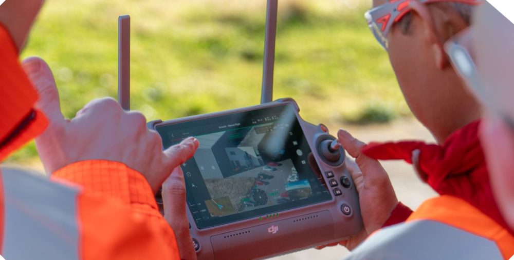
Mining and Environmental Applications
Mining industry of Australia has readily embraced the drone LiDAR technology, especially across mining companies for volumetric calculations, stockpiles monitoring, and expansion planning with unprecedented accuracy. Delegating the surveying job to human suveyors across hazardous mining areas has now got a safer alternative in form of the drone LiDAR technology. The results also are proven to be more comprehensive yet precise. Environmental scientists have also started using aerial LiDAR services as a necessary tool to back their conservation efforts, and arrive at evidence-based environmental management decisions.
Cutting Short the Field Time in Remote Locations
The job of surveying professionals is complex and tough. A remote location means limited access and logistical hurdles, which lengthen both the time and costs. Such challenges are well-handled by drone LiDAR technology and the basic need for extensive ground presence is minimized. Besides, benefits like faster turnaround times and greater safety must not be underestimated.
When it comes to planning infrastructure projects in remote locations, the drone LiDAR technology plays a pivotal role. It’s capable of capturing detailed elevation data that helps with the identification of particular geological features and potential obstacles.
Why let remote locations cause a slowdown in your project delivery?
Cut field time by up to 80% with AUAV’s expert drone LiDAR services!
Bushfire Risk Mapping? Now Easier with Aerial LiDAR
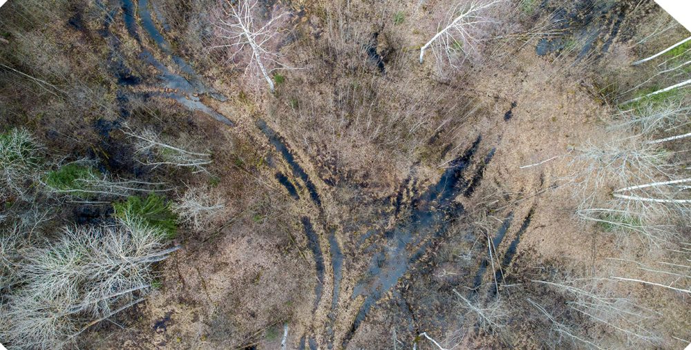
While bushfires continue to be one of the most widely encountered natural threats in Australia, the rise of drone LiDAR technology is providing an effective tool to assess and manage bushfire risks. LiDAR surveys, unlike their traditional counterparts, penetrate forecast canopies to accurately measure the fuel load on forest floors. This facilitates fire management authorities to identify the high-risk areas and plan actions even before the fire strikes.
On the other hand, in case of a bushfire event already happened, drone LiDAR perfectly maps the affected forest areas, identifies damaged infrastructure, and offers guidance on recovery.
Is your organisation prepared for bushfire season?
Charge your risk management strategy with comprehensive LiDAR mapping.
Identify vulnerabilities before they become emergencies!
Using Drone LiDAR Systems for Sustainable Land Use Planning
Sustainable land development and land use planning are preparing a strategy for informed land use. The decision largely depends on high-resolution data. It takes thorough understanding of the landscape and its natural attributes before you arrive at any decision regarding its use.
Local governments, urban planners, and property developers can all harness the precision and accuracy of drone LiDAR survey technology for making smarter decisions about land planning. The real sustainable development is all about balancing both the developmental and environmental elements.
- Identify suitable areas for potential development
- Consider development with minimal environmental impact
- Prioritize water-sensitive developments
- Consider green spaces and wildlife corridors in your plan
- Pay attention to road network optimization
- Consider cultural heritage preservation via detailed mapping
In a Nutshell
With drone LiDAR emerging as a transformative technology across Australia for a variety of surveying applications, experts say that the technology will continue to evolve, its accessibility will grow, and its role in shaping the country’s future will also be significant. Aerial LiDAR services provide more comprehensive, more accurate results faster than any traditional methods of surveying. Projects like rural property assessment, bushfire management, mining operations, and environmental conservation are recommended to leverage the growing power of drone LiDAR.
