AUAV has been working with land developers and their consultants to solve their data needs since 2013. With a variety of drones at our disposal we operate safely within the urban environment.
Civil Infrastructure
Drone-based survey and inspection services offer huge time and cost efficiencies for developers. For more information email us at contact@auav.com.au.
Data for Construction & Land Development

We have demonstrated data capture and presentation including:
- Periodic earthwork and fill reconciliation for contractor milestone payments.
- Land contamination volume analysis.
- Dilapidation surveys.
- Koala location and monitoring.
- Construction monitoring.
- Vegetation assessment for constraints analysis.
- Topographical surveys for flood and drainage studies.
- Monitoring construction progress on large sites, eg. solar farms.
Surveying
Over the past 10 years, drones have become established as an integral tool in the kit for surveyors. With the capability to capture data accurately, safely and efficiently, the technology has been widely adopted. The perceived simplicity however has seen many questionable practices that have led to poor data outcomes.
Since 2013 we have been leading the charge on providing quality drone survey data capture services. Our comprehensive ISO 9001 certified quality assurance checks and processes give our clients confidence in reliable and repeatable data. In 2017/18 we were a project partner with FrontierSI on their QA4UAV project, a project that seeks to lift the quality of data supplied from all drone service providers.
We work with a range of survey companies providing cost-effective aerial data capture services. Some survey companies have their own drone resources but prefer to commission us to complete the larger projects. Other survey firms prefer to engage us to undertake all drone-related tasks whereby not taking on the technical, commercial and financial risks themselves.
We offer photogrammetric and LiDAR capability and have worked through all the issues associated with data volumes and format compatibility for survey clients.
Our Typical Survey Projects are:
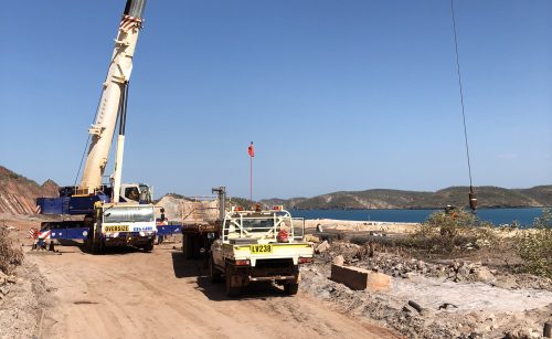
- Civil earthworks such as roads & land development.
- Mines, quarries & landfill analysis.
- Floodplains for inundation mapping.
- Coastal erosion and asset monitoring.
- Landslip assessment.
- Drainage analysis.
- Contaminated land mapping and survey.
Engineering

AUAV has undertaken hundreds of projects and recurring work for most of the major engineering firms. We also have multiple staff who are coming from a previous career in these companies, and so have a very good understanding of the requirements and approach to successfully completing these projects.
Typical Examples of Data Provided Includes:
- Analysis for slope stability, landslips, cliff, seawall and coastal studies.
- Survey for road, rail and bridge projects.
- Inspection of structures for visual condition and mechanical stability.
- 3D models for existing built assets.
- Models and images for demolition projects.
- Line of sight capture for microwave link connectivity.
- Survey for irrigation design, flood and hydraulic modelling.
- Monitoring gas and power transmission corridors.
Local Government
Councils and other local government agencies have been at the core of AUAV’s work since 2013. We offer flying and data hosting services but also support local government in developing their own in-house drone programs.
AUAV is partnered with Smarter Technology Solutions on the Local Buy Smart Cities Connected Communities procurement panel.
Whether you need a project flown, would like to implement your own drone program, or are seeking a data hosting solution, we have the skills to assist.
Our Typical Projects for Local Governments Have Included:
- Mapping, survey and view assessment for planning and design.
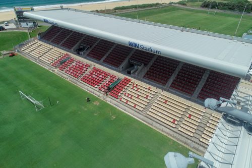
- Building, roof and sports field lighting pole inspections.
- Road and bridge inspections.
- Landfill and quarry surveys.
- Documenting heritage sites and buildings.
- Geotechnical surveys.
- Flood and drainage topographical surveys.
- Coastal erosion mapping.
CLIENTS: CIVIL INFRASTRUCTURE
“AUAV are really pushing the boundaries of what this technology can achieve, and unlike most of the drone guys out there, they actually understand survey and what is required for accurate data and QC”
– Brian Hammonds, Registered Surveyor, RPS


