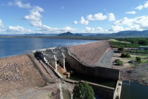
Sunwater commissioned AUAV to undertake aerial and bathymetric surveys of a number of their dam sites. Low water levels in water storages across Australia throughout 2018/2019 highlighted the need to better understand the available volumes of storage available and for the storage manager. Also included was the need to review the water storage vessels for maintenance or upgrade works.

Ross River Embankment & Leslie Dam Surveys
Ross River Embankment & Leslie Dam Surveys for Sunwater

Challenges:
Sunwater had two key elements they required, first they wanted to check and update their storage curves to ensure the estimated storage capacity was correct. Second, to be provided with detailed survey data of features such as embankments to allow cut/fill analysis between the original design, current surface and proposed upgrade levels.
Solution:
Coincidentally, it was due to the extremely low water levels in the storage that AUAV was able to survey much of each site including a 1km buffer from the top water level. For the Leslie Dam site this equated to around 1400ha in survey extent. In areas where water was still present, AUAV worked with local surveyors to capture bathymetric survey data and combine the data into a single seamless data set. AUAV also provided data analysis services, updating the storage curves for each site and providing a cut/fill assessment for an 8.4km section of embankment of the Ross River dam.
