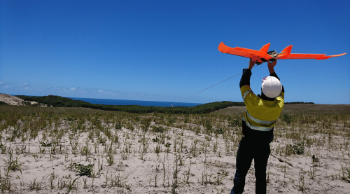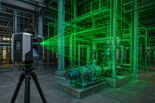
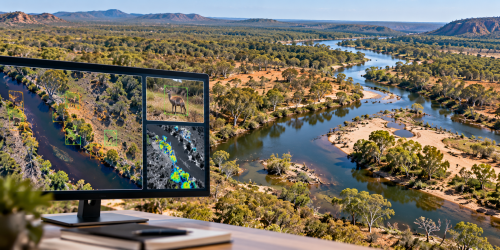
Drone fauna surveys use aerial imagery and specialist sensors to help locate and monitor wildlife across natural and developed landscapes. In Australia, thermal-equipped drones can support ecological assessments, particularly where animals are difficult to detect from the ground.
What Are Drone Fauna Surveys and How Do They Work?
Drone fauna surveys involve using unmanned aerial vehicles (UAVs) to collect imagery that helps identify wildlife and assess survey areas. Based on the target species, terrain and survey objectives, operators may use visual cameras or thermal imaging drones to examine vegetation, forest canopies and other habitats.
A typical wildlife drone survey involves:
Defining the survey area and target species.
Selecting suitable sensors and flight conditions.
Capturing aerial imagery along planned flight paths.
Reviewing potential wildlife detections.
Validating findings and preparing survey records.
Drone surveys can extend visibility into areas that are difficult to access on foot. However, their effectiveness depends on survey design, environmental conditions and appropriate ecological interpretation.
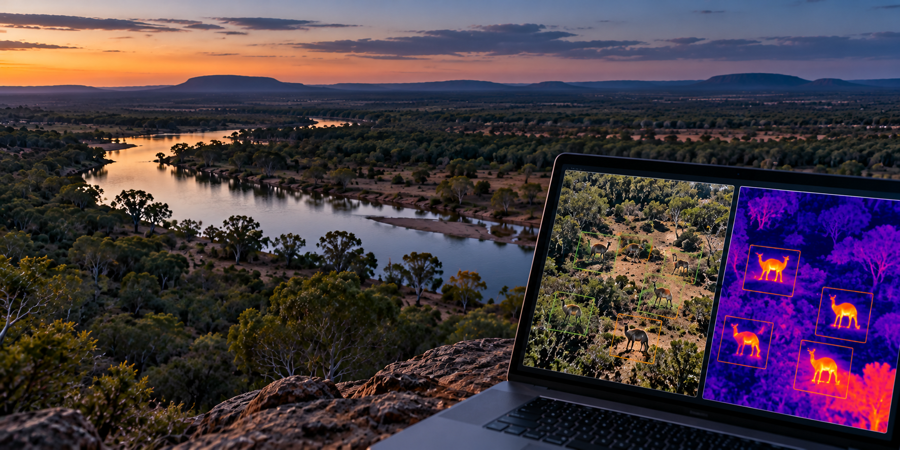
How Do Thermal Drone Surveys Help Detect Australian Wildlife?
Thermal drone surveys detect differences in surface temperature rather than relying only on visible colour and detail. Warm-bodied animals may appear as distinct thermal signatures against cooler surroundings. This makes thermal technology useful for locating some mammals in vegetation, including koalas and greater gliders.
Australia’s NSW Wildlife Drone Hub has demonstrated the use of thermal-equipped drones for biodiversity monitoring.
Why Survey Conditions Matter
Thermal detection is not equally effective in every environment. Important considerations include:
Temperature contrast
Cooler surroundings may make animals easier to distinguish.
Vegetation density
Thick canopy cover can obscure thermal signatures.
Flight planning
Altitude, speed and image overlap influence data quality.
Species behaviour
Animal size, movement and habitat use affect detectability.
A thermal signature is not automatically a confirmed animal identification. Additional imagery or ground-based verification may be required.
Interested in learning more about this?
Speak with our team and know how AUAV can help you with your survey goals!
Where Are Drone Fauna Surveys Used in Australia?
Drone wildlife monitoring can provide useful information for projects involving land management, environmental planning and ecological research.
Potential applications include:
Infrastructure development
Supporting fauna investigations around proposed works and access corridors.
Mining and rehabilitation
Monitoring selected habitats across operational and rehabilitated areas.
Conservation management
Supporting repeatable wildlife observations in suitable environments.
Vegetation management
Investigating wildlife presence before planned vegetation works.
Ecological research
Collecting spatially referenced observations for further analysis.
For environmental consultants, the value lies in collecting relevant evidence that can be interpreted alongside other ecological information.
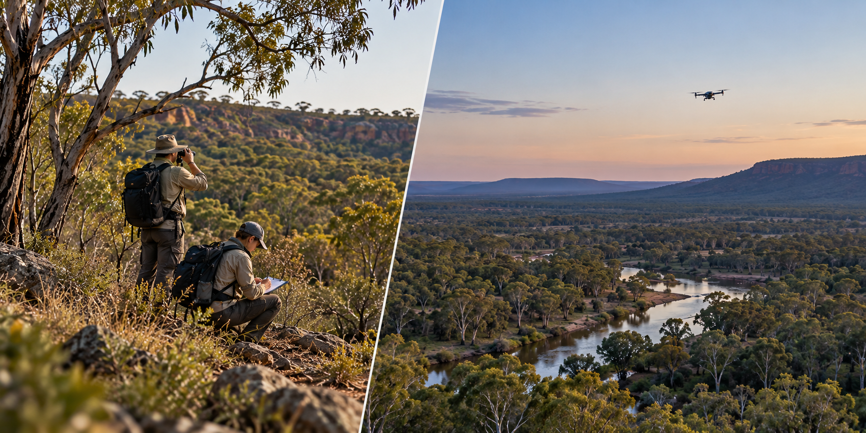
Can Drone Surveys Replace Traditional Fauna Assessments?
Not necessarily. UAV wildlife surveys are best considered part of a broader ecological assessment strategy.
Ground surveys, acoustic monitoring, camera traps and other established methods may still be needed to identify species, verify observations or meet project requirements.
Drone surveys can add value by:
Covering selected areas from an aerial perspective.
Supporting investigations in difficult terrain.
Recording georeferenced observations.
Allowing repeat surveys for monitoring purposes.
Importantly, failing to detect an animal does not prove that the species is absent.
What Should You Consider Before Commissioning a Fauna Drone Survey?
A reliable fauna monitoring program starts with a clearly defined question.
Before arranging a survey, establish the target species, habitat conditions, survey boundaries, required outputs and intended use of the results.
Operators must also consider Australian aviation requirements, wildlife protection rules and any applicable land-access or environmental permissions.
For projects requiring both ecological information and site context, AUAV’s aerial survey and mapping services may provide a useful starting point for discussing complementary geospatial deliverables.
Plan Your Wildlife Monitoring Project with AUAV
Effective drone fauna surveys depend on selecting the right approach for the species, environment and project objectives.
If you’re planning a development, environmental assessment or wildlife monitoring program, explore AUAV’s Drones Fauna services.
Want to discuss a suitable drone-based monitoring approach for your project?
Talk to AUAV about your survey area, target species, and reporting requirements!
Frequently Asked Questions
1. How accurate are thermal drone surveys for detecting wildlife?
Thermal drone surveys can help detect animals when sufficient temperature contrast exists. Accuracy varies with species, canopy density, weather, sensor quality and flight conditions. Potential detections may require independent ecological verification.
2. Can drones detect koalas and other native Australian animals?
Yes. Wildlife drone surveys using thermal cameras can help locate koalas and some other mammals. Detection depends on habitat, temperature and visibility, while confirming species identification may require additional observations.
3. Are drone fauna surveys suitable for environmental assessments before construction?
Drone fauna surveys can support pre-construction environmental assessments by providing spatially referenced wildlife observations. However, suitability depends on project requirements, target species and whether complementary ecological survey methods are necessary.
4. What affects the cost of a drone fauna survey in Australia?
The cost of drone fauna surveys depends on site size, accessibility, target species, sensor requirements, flight conditions, approvals, fieldwork and reporting needs. A defined survey scope supports meaningful quotations.
5. Can drone wildlife monitoring be repeated to track changes over time?
Yes. Drone wildlife monitoring can collect comparable observations across multiple survey periods. Consistent methods, seasonal timing and ecological interpretation are important when assessing changes, because detection rates may vary between surveys.