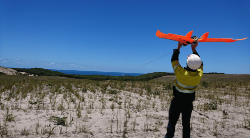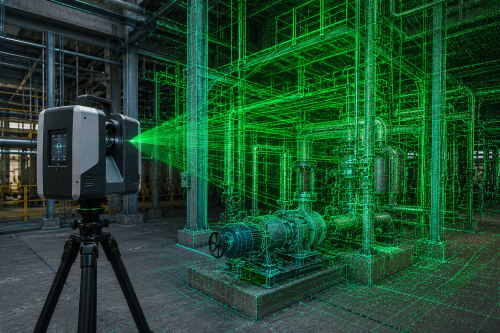
How a heavy-lift drone, a total-field magnetic receiver and a proven ground-source technique are opening remote exploration ground faster, safer and at higher resolution.
Exploration teams today are chasing the same three things: deeper targets, faster target-ranking decisions, and less time spent putting boots on difficult, remote and sometimes hazardous ground. Gap Geophysics’ Sub-Audio Magnetics (SAM) technology was built to answer that brief on the ground — and in partnership with AUAV, it’s now taking to the air.
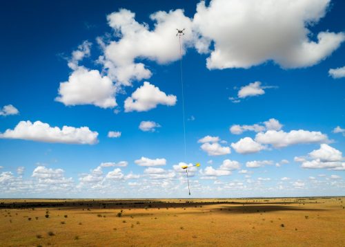
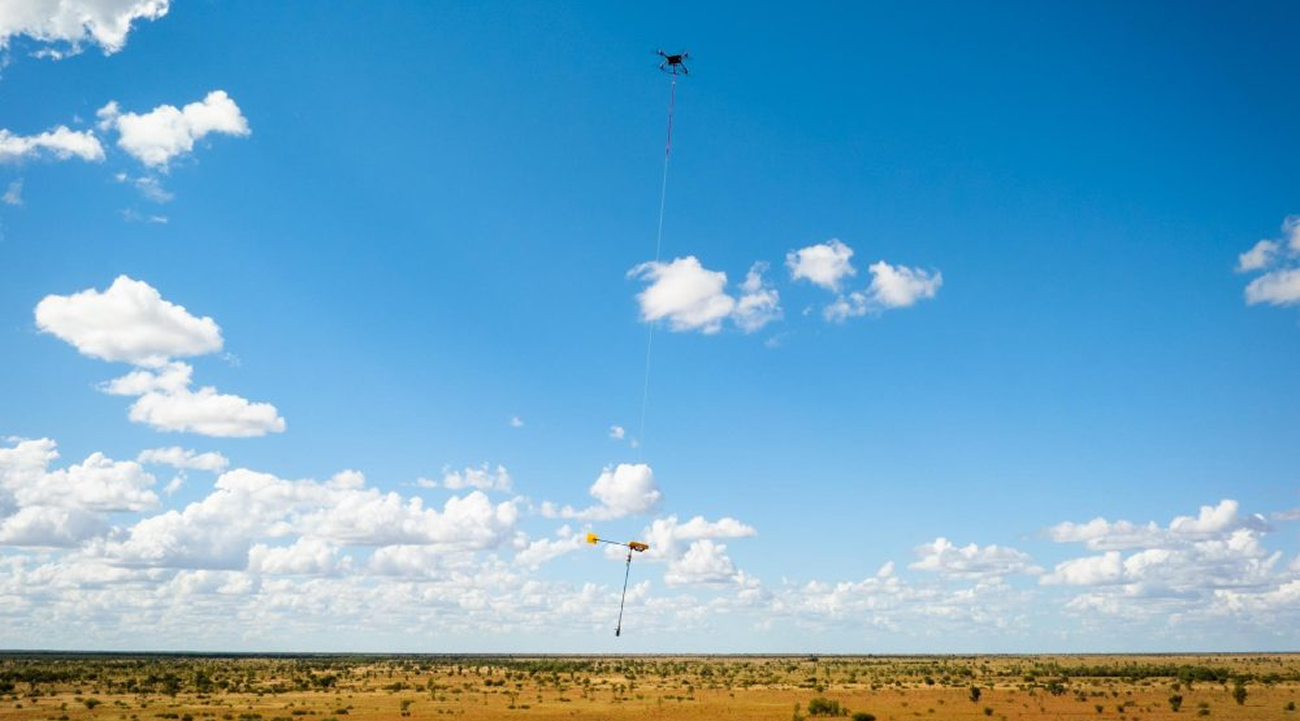
Gap Geophysics have combined a proprietary, ground-source geophysical technique with heavy-lift unmanned aviation to create an efficient and cost effective UAVSAM: a drone-towed total-field magnetic receiver that flies over an active ground source, collecting dense, high-resolution data over terrain that would otherwise take survey crews days to walk.
What SAM Actually Measures
SAM isn’t a magnetometer strapped to a drone. It’s a semi-airborne evolution of a proven ground technique, where a powerful ground-based transmitter energises the sub-surface and a fast-sampling total-field receiver captures the response as it flies overhead. Because the sensor measures total field rather than individual vector components, it’s inherently more tolerant of the vibration and orientation changes that come with airborne acquisition — a key reason SAM translates so well to drone flight. From that single waveform, processing extracts up to four distinct products: Total Magnetic Intensity (TMI) for structural and lithological mapping; Total Field Magnetometric Conductivity (TFMMC), an on-time measurement mapping faults, fractures and resistive or conductive geology; Total Field Electromagnetics (TFEM), an off-time measurement for large conductor detection and target ranking; and in some circumstances, Total Field Magnetometric IP (TFMMIP), an additional off-time product for chargeability-style discrimination.
Depending on the program, SAM runs in galvanic mode — a grounded dipole energising targets relative to the source direction, ideal for faults, fractures and structural corridors — or inductive mode, where a closed transmit loop induces a secondary field, well suited to locating large conductors and massive sulphide-style bodies at depth.
How It Flies
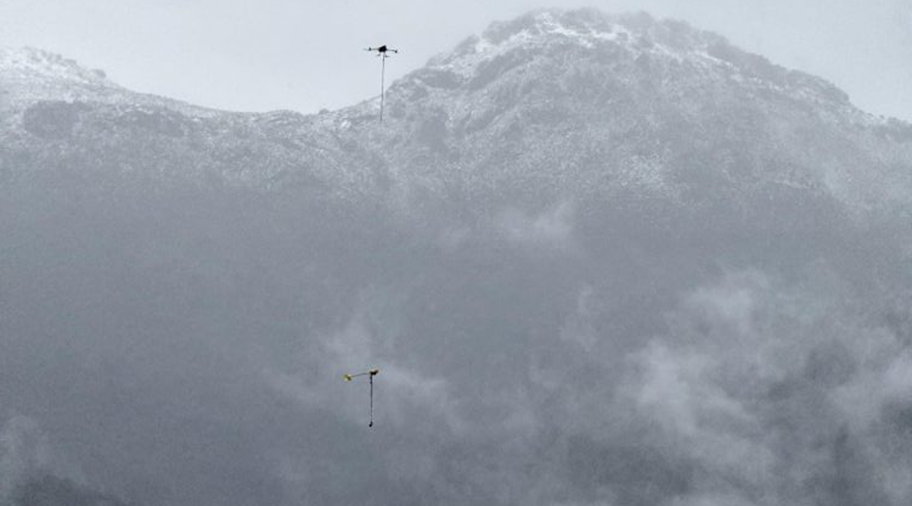
On an AUAV program, a heavy-lift drone tows an approximately 6 kg SAM / TM-7 payload on a sling below the aircraft, flying low-altitude, terrain-following lines while Gap’s ground-based transmitter energises the survey area. Gap Geophysics’ UAVSAM specification envelope — 1 to 12.5 Hz transmit frequency, 5 to 15 m along line sample interval, nominal 25m sensor terrain clearance and survey speeds of 2 to 10 m/s — is capable of over 100 line-km of production per day under favourable conditions. In the field, AUAV plans conservatively around 50 to 70 line-km per day per system, accounting for terrain, battery logistics, flight approvals, transmitter layout and weather in real remote-area deployments.
Why It Matters
Low-impact access – the only ground disturbance is cable-laying for the source; no line-cutting is required for airborne acquisition. Larger transmitter dipole moment and lower base frequencies, higher data density – closer sample intervals and lower, slower flight lines than conventional airborne EM.
Terrain that stops crews doesn’t stop the drone – steep, vegetated, alpine or logistically difficult ground becomes survey-able.
Ground-EM-style sensitivity, with a platform built for future swarming, satellite connectivity and BVLOS operation.
Two Companies, One Survey
Gap Geophysics brings the proprietary SAM technology – the TM-7 fast-sampling receiver, its high-performance transmitter family, and the geophysical processing expertise behind the data. AUAV brings the unmanned aviation: heavy-lift flight operations, payload handling, safety case management and the remote-area field crews to run it reliably in country most contractors would think twice about.
Built-In Safety, Built for Scale
Reducing time spent walking survey lines is a safety outcome as much as a productivity one. AUAV’s aviation risk management – CASA-aligned operations, redundancy, communications and emergency procedures – sits alongside Gap and Dias’ safety-first engineering, including lightning shunt and current lockout technologies and transmitters designed to reduce electric shock risk. Both companies are investing in swarming platforms, satellite connectivity and longer-duration flight enabling BVLOS operation — getting teams from data to decision faster.
Ready to scope a survey?
AUAV and Gap Geophysics work with exploration teams to scope UAVSAM programs from first target selection through to delivered data. Get in touch with either team to talk through your exploration needs.